Blog Layout

SurveyAr works in R&D and Reseller partnership with UgCS

PAR002_123 • Jan 12, 2021


SurveyAR and UgCS (and SPH Engineering) have agreed to work collaboratively within the UK on projects that utilise their array of geophysical sensors.


UgCS Logo

Research and Development

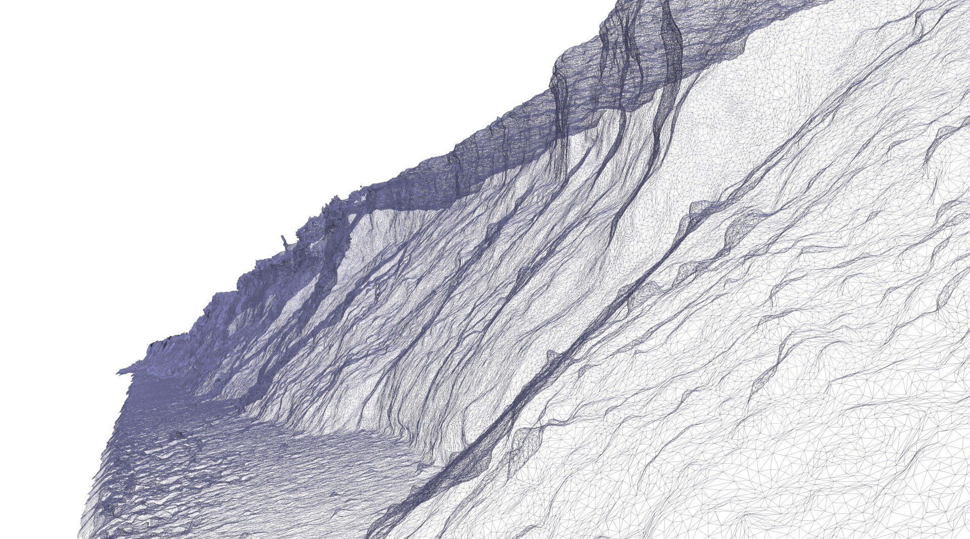
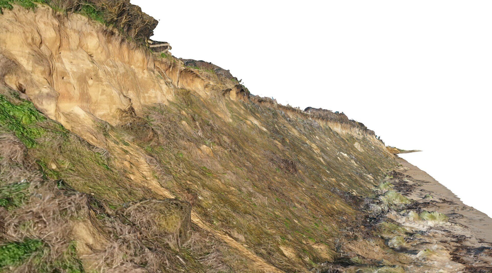
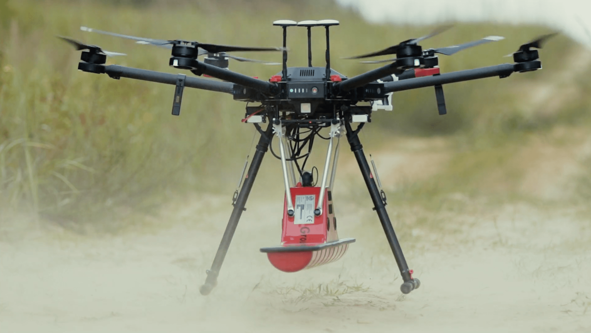
The recent growth and development of un-manned aerial platforms particularly in positional capabilities, enhanced flight management systems and greater lift capacity has allowed the commercial world to consider a range of new possibilities, moving beyond photogrammetry. Taking the knowledge, experience and hardware that UgCS have acquired directly and with their partners throughout the globe presents a unique opportunity to project the ideas further. Particularly in the realm of traditional geophysical sensors, we can work collaboratively to explore possibilities for enhancement and integration in scenarios and use cases that have not been considered previously or have thought not to be possible.


We have already started a number of projects, R&D programmes and test evaluations of the sensing technologies in unique scenarios and use cases. We are also happy to work with private sector and institutions in capacity building and working collaboratively.


Reseller


We are happy to provide guidance and a route into purchasing software, sensor and infrastructure equipment for their own UAS platforms. For an outline please visit the Reseller Page or connect with the UgCS link above.

By William Kirk 22 Aug, 2023
Surveyar continues to push the boundaries of climate science with the development of an integrated solution to measure and quantify Greenhouse Gas for both natural and industrial emission sources and sinks.
By William Kirk 06 Jun, 2023
TRIG Funding - ECRA Embankment Climate Risk Assessment
By William Kirk 25 Apr, 2023
Quantifying methane emissions using measurements is a pressing issue. In a recent commentary for the Nature journal ( https://rdcu.be/daGyw ), our partner, Prof Grant Allen, describes how aerial surveys, including aircraft and UAVs, can be used to quantify emissions for comparison with official inventories. Surveyar Ltd is proud to offer a solution to UAV-based greenhouse gas emissions surveys – see Gas Measurement (surveyar.co.uk) for further details and contact us if interested.
By William Kirk 17 Mar, 2023
Major New Research Announcement for Surveyar
By William Kirk 07 Dec, 2022
There is a lack of viable techniques to accurately measure greenhouse gas emissions and carbon sinks (fluxes) on a scale relevant to addressing the urgent Net Zero challenge.
By William Kirk 05 Jul, 2022
Drones Supporting Coastal Erosion Monitoring and Protection
By William Kirk 05 Jul, 2022
How do drone surveys enhance coastal monitoring
By William Kirk 05 Jul, 2022
DTM, DTM and CHM from Lidar
By William Kirk 21 Sep, 2021
Welcome Professor Grant Allen
By William Kirk 21 Sep, 2021
The first new start in the new Cranfield Office
More Posts
Share by: